Canadian fires may affect area
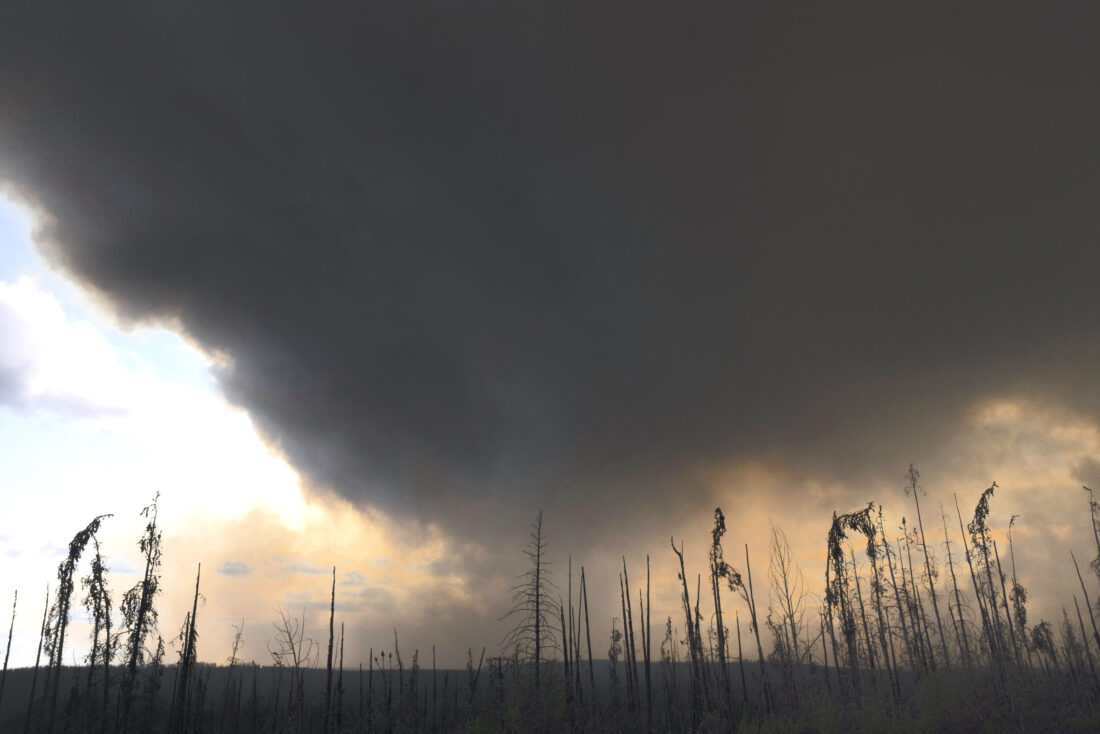
AP Photo Wildfire smoke hangs in the air above Highway 97 north of Buckinghorse River, British Columbia, on Friday, May 30, 2025.
The sky has been hazy over Warren County since the rain stopped due to events far from the region.
Canadian wildfires have burned 2,117,535 acres so far this year, according to the Canadian Wildland Fire Information System. This has sent smoke drifting across Canada and the United States.
The worst of the smoke remains west of Warren county for now. According to the Associated Press, smoke from Canadian wildfires carried another day of poor air quality to the American Midwest. Conditions in parts of Minnesota, Wisconsin and Michigan were rated “very unhealthy” on Tuesday. The smell of smoke hung over the Minneapolis-St. Paul area on Tuesday morning. The Minnesota Pollution Control Agency issued an alert for almost the entire state into Wednesday.
For Warren County residents, the wildfires will create beautiful sunsets as the sun’s rays pass through the smoky haze in the atmosphere. The smoke may also cause increasingly bad air quality in the region as the fine particulate matter in the smoke drifts into the area.
As of Wednesday morning, the air quality was rated at 78, which is considered moderate, according to Weather.com. This means that “Air quality is acceptable; however, for some pollutants there may be a moderate health concern for a very small number of people who are unusually sensitive to air pollution.” The air quality becomes “unhealthy” when the air quality index reaches 100, meaning “Health effects can be immediately felt by sensitive groups. Healthy individuals may experience difficulty breathing and throat irritation with prolonged exposure.”, according to Accuweather.
Smoke from Canadian fires last impacted Warren County in 2023, when over 16 million acres burned. At this time of the year in 2023, 3,117,000 acres had burned. While the smoke has not yet been a huge problem in Warren County, this will be another summer to pay attention to air quality levels before going outside, especially for sensitive groups like older adults, young children and those with respiratory issues.
The U.S. Environmental Protection Agency’s AirNow map showed a swath of red for “unhealthy” conditions across the eastern half of Minnesota into western Wisconsin and northern Iowa. The map also showed purple for “very unhealthy” across much of the Minneapolis-St. Paul metropolitan area, where the Air Quality Index numbers of 250 were common, though conditions started to improve slightly by late morning.
The Air Quality Index — AQI — measures how clean or polluted the air is, focusing on health effects that might be experienced within a few hours or days after breathing polluted air. It is based on ground-level ozone, particle pollution, carbon monoxide, sulfur dioxide, and nitrogen dioxide. Particulates are the main issue from the fires
The index ranges from green, where the air quality is satisfactory and air pollution poses little or no risk, to maroon, which is considered hazardous. That level comes with health warnings of emergency conditions where everyone is more likely to be affected, according to AirNow.
“We should expect at least a couple more rounds of Canadian smoke to come through the U.S. over the next week,” Bryan Jackson, a meteorologist with the National Weather Service in the U.S. told the Associated Press on Sunday.
Local News
City woman faces 10 felony drug charges
A Warren woman faces 15 felony charges stemming from a Warren Police Department investigation that began in ...

Hi-Ed celebrates first cohort of Middle School Youth Leadership Graduates in Warren County

Opening of pools, petting zoos and Touch A Truck kick off as school ends

Women’s Club announces scholarship winners
Trump tax bill will add $2.4 trillion to the deficit and leave 10.9 million more uninsured, CBO says
WASHINGTON (AP) — President Donald Trump's big bill in Congress would unleash trillions in tax cuts and slash ...
