Wildfire forecast low but threat remains
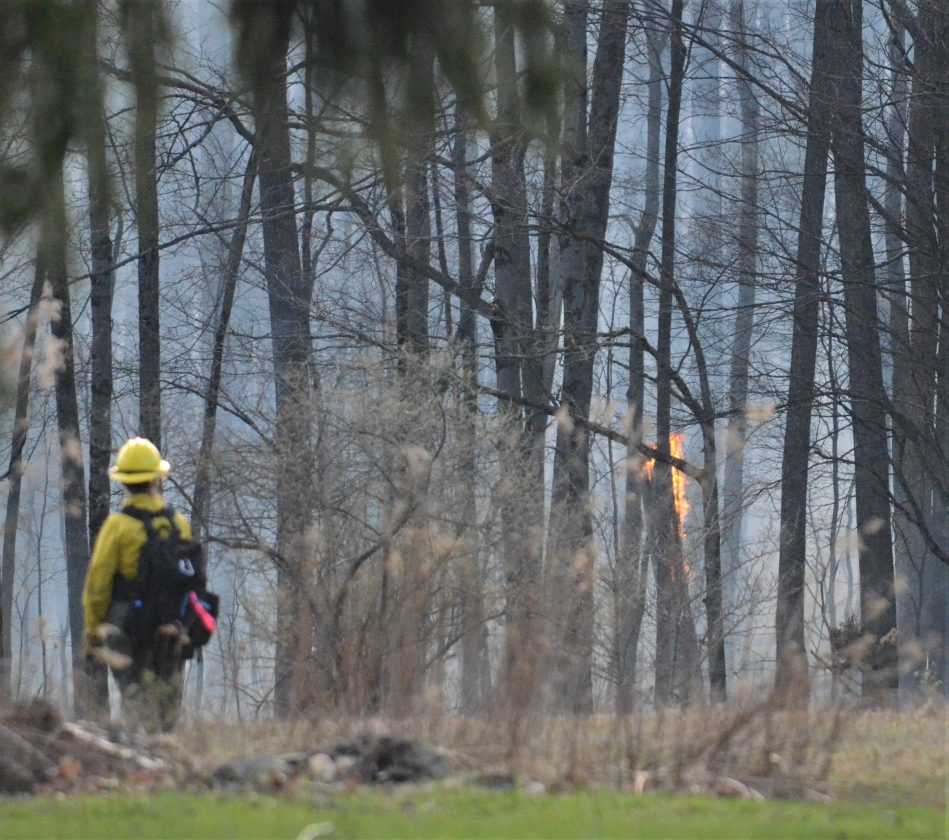
Times Observer file photo Fire at Cobham hill.
One state wildfire forecast had Warren County moving from low to moderate risk for wildfire as soon as today.
An updated forecast later Monday projected the risk level to remain low for the next couple days.
But just because the designation might not have changed doesn’t mean there still isn’t substantial risk for wildfire.
“Sometimes we see more fire activity on a day like tomorrow because people think ‘it recently rained or snowed’ so it’s safe to light a fire and there’s no chance it will become a wildfire,” Cecile Stelter, DCNR district forester, told the Times Observer on Monday. “This is not a correct assumption.”
Stelter outlined the many factors at play that make the spring window particularly dangerous from a fire perspective.
“Being that this is early April there are no leaves on the trees so no shading and that means the sun can dry things — fuels — out easier and faster,” she said.
Wind speeds will remain low until Wednesday when projected up into the teens in miles per hour.
“Many of our spring wildfires are wind-driven,” she said. “So the higher the winds, the better chance fire embers can be blown around or a fire can be ‘pushed’ by the wind into an area where it wasn’t supposed to go.”
Low humidity increases the chances as well.
“As people get out and are more active outside, cleaning up their yards — including debris burning — that increases the chance of having a wildfire,” she acknowledged.
“With the recent weather, I would say the advice to the public is to be careful when they burn outside and don’t burn on windy days,” Stelter stressed. “Be careful where they burn — make sure the area is cleared of any dry material. Don’t leave, even for a few minutes, any fire unattended. And finally make sure any fire they light is completely out.
Local News
Commissioners: no changes for May primary election
A representative of the League of Women Voters of Warren County addressed county officials Wednesday, voicing ...
Buffalo residents face false gun form statements
Two Buffalo residents face several felony charges in Pennsylvania involving false statements involving the sale or ...

‘Powerful Example’: North Warren native honored by PASSHE

Rapp: $2.25M awarded to county water projects
Sugar Grove man jailed after alleged assault
A Sugar Grove man has been jailed on $20,000 bail after an alleged incident Wednesday. William R. Fehlman Jr., ...